

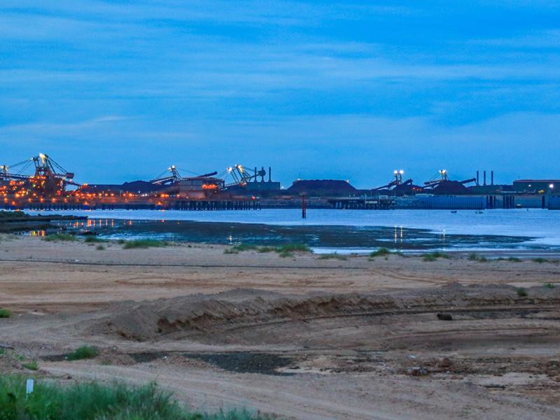
Like many organisations monitoring air quality, PHIC has debated and trialled the benefits of Light Detection and Ranging (LiDAR) technology in Port Hedland.
To date three studies in Port Hedland have tested LiDAR as a method of determining and mapping atmospheric dust.
PHIC commissioned Environmental Technologies and Analytics (ETA) to review the three studies.
ETA’s report, The Use of LiDAR in Measuring Airborne Particulates – A Technical Review of LiDAR Trials in Port Hedland shows the objective for all three studies were similar: evaluating LiDAR as a tool for determining the sources of dust and tracking their pathways within the Port Hedland Airshed.
PHIC acknowledges that LiDAR is a useful for visually representing, or mapping, the extent and location of a dust plume. However, the LiDAR studies to date highlight specific limitations, which appear to be exacerbated where there are multiple dust sources, as is the case in Port Hedland.
LiDAR technology is not used as a regulatory tool in Australia for several reasons, including:
- There is no Australian standard for the operation of LiDAR equipment.
- LiDAR is not an acceptable technology or methodology in Australia for point source monitoring.
- Pre-processing of LiDAR monitoring data is required before usable imagery can be developed so it is not applicable to a real-time monitoring scenario.
- LiDAR cannot be used to measure PM10 There are no established criteria that can be used as limits for ambient PM10 concentrations within the air monitoring network in Port Hedland.
Read more on LiDAR and the ETA report here.